AirborneAutonomous
We build autonomous floats that survey, inspect and keep watch over land, assets and conditions. Launch, survey, return, repeat.
- Survey
- Inspect
- Map
- Watch
Autonomous Surveillance Systems
Small Signature
SoundSize
- Float
- Observe
- Persist
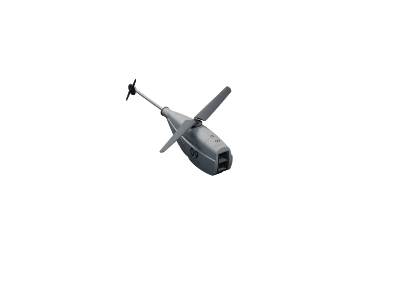
The CF-1212 is heard at 52 dBA from 10 m and weighs 0.85 kg. A float is meant to go unnoticed.
Autonomous Routes
PlanFly
- Plan
- Fly
- Report
The float plans its route and flies it with no pilot in the loop. You set the area and the task.
Measured Data
RecordCompare
- Map
- Measure
- Compare
Each sortie returns 4K imagery, 640×512 thermal or 1.3 cm/px maps, ready to set beside the last one over the same ground.
Launches, field notes and the figures behind them, each with its conditions.
09·14·2026
Autonomous Flying Eyes
09·14·2026
09·14·2026
Item
Size (cm)
Weight (kg)
Description
- ZZ — 12
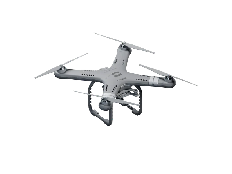
202658 × 42 × 18214.5Long-range float: 55 km radius, 2 h 30 min endurance. - CF — 11
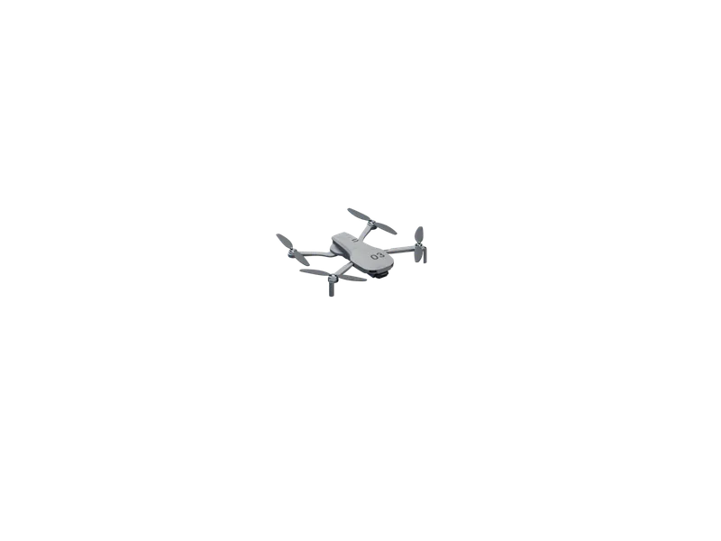
202616 × 88 × 484.2Survey float: 45 ha per sortie at 1.3 cm/px. - CF — 12
202610 × 30 × 360.85Watch float: 0.85 kg, 32 min on station. - VK — 66
202621 × 52 × 522.4Recon float: 8 km radius, 38 min per sortie.
01/12
The Idea.
1We build floats to observe places, assets and conditions: fields, sites, perimeters and routes.
2Autonomous means the float plans its route and flies it with no pilot in the loop. You set the area and the task.
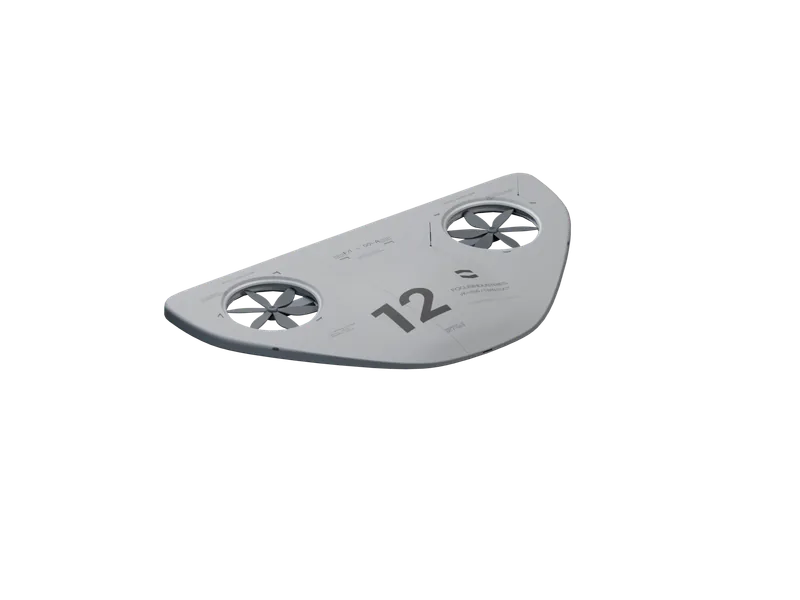
3A float is meant to go unnoticed. It does its work above the ground and comes back with data, not footage.
Float.
04Four floats, one for each kind of observation: recon, survey, a fixed watch and long routes.
Each one plans and flies its own route.
Imagery ©swisstopo
1One float, one job. Each model in the range is built for one kind of observation, and its name says which.
2Every figure we publish carries its units and the conditions it was measured in. Where we have no figure, we make no claim.
3Launch, survey, return, repeat. The same ground, the same lines, the same hour. What changes is what you came to see.
Domains.
We work across six domains. In each, the task picks the float: what to observe, how often, and over how much ground.
Map the field. Watch the site. Cover the route.
Agriculture.
Crop, soil and water conditions mapped field by field, season after season.
Security.
Perimeters, gates and fence lines of fixed sites kept under regular observation.
Surveillance.
Wide areas and long routes kept in view where fixed cameras cannot reach.
Survey.
Land, boundaries and structures measured from the air and returned as maps.
Zoning.
Land use, boundaries and change over time recorded for planning and permits.
Exploration.
Remote and unmapped ground surveyed before anyone travels to it.
News.
Launches, field notes and company news, each with its figures and the conditions they were measured in.
We write when there is something to report.
6.4 km of fence in 19 minutes.
A VK-166 Recon flew the 6.4 km perimeter of a 40 ha solar site at night in 19 min, with no pilot, and reported four faults by thermal and zoom. Conditions, method, results, and what we changed.
Swarm mapping over open water.
Three CF-1211 floats mapped 126 ha of open water in 27 min as one coordinated swarm, with no pilot and no landmarks to stitch by. Conditions, method, results, and what we changed.
110 km out and back.
A ZZ-R12 Long flew 110 km out and back along a disused rail corridor in 1 h 58 min, without a pilot, and landed with 26% of its energy in reserve. How it plans a route that long, and where it decides to turn.