01 / 06
Agriculture.
MapCompare
- Map
- Measure
- Repeat
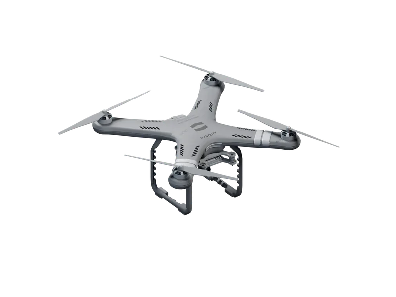
We map fields on a fixed schedule: the same lines, at the same height, every week. The CF-1211 Survey covers 45 ha per sortie at 1.3 cm/px and reads crop vigour, soil moisture and standing water in five bands, so this week's map sits beside last week's without correction.
Scheme.
Markers 01–04 follow the method below.
Method.
01
Set the field.
You draw the field boundary. The float plans parallel lines at 100 m, with 80% forward and 70% side overlap.
02
Fly the lines.
The CF-1211 flies each line at 12 m/s and turns outside the boundary: 45 ha per sortie, in winds up to 15 m/s.
03
Read the bands.
A 5-band multispectral swath at 5.3 cm/px returns crop vigour, soil moisture and standing water, plot by plot.
04
Fly it again.
Next week the float flies the same lines at the same hour, so each plot is read against its last map.
Floats.
03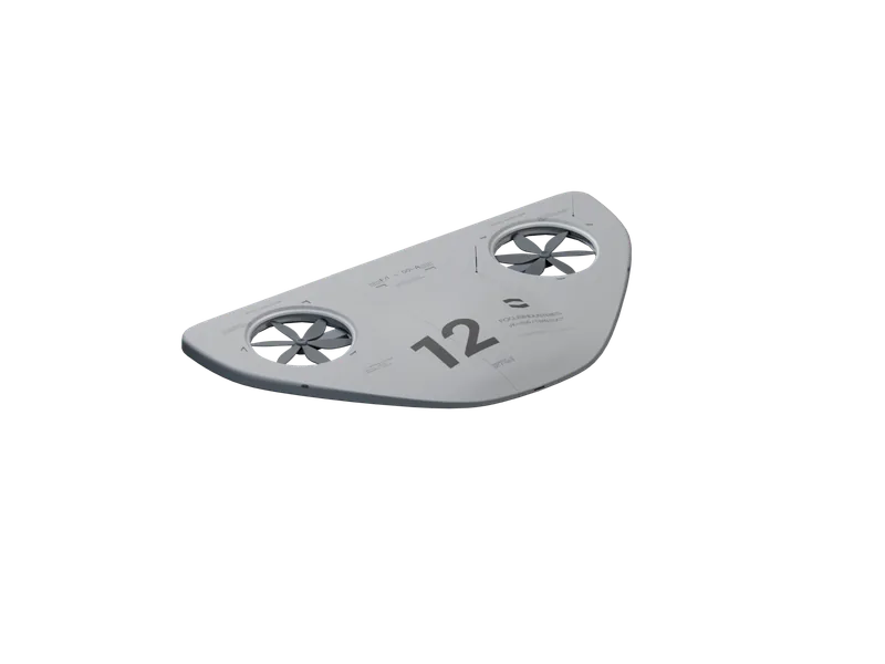
Capabilities.
Coverage.
45 ha
Per sortie
CF-1211
Mapped from 100 m with 80% forward and 70% side overlap.
Resolution.
1.3 cm/px
45 MP RGB
CF-1211
Each image placed by RTK GNSS to within 3 cm.
Bands.
5.3 cm/px
5 bands
CF-1211
Crop vigour, soil moisture and standing water, read plot by plot.
Wind.
15 m/s
Sustained
CF-1211
Survey lines held at the highest wind limit in the range.
Low light.
9 m/s
Below 1,000 lux
CF-1211
Slower lines at dawn keep the shutter at 1/250 s.
Scouting.
8 km
Radius
VK-166
Fields and access routes scouted and reported before work starts.
Uses.
Arable.
Crop vigour and emergence mapped block by block, before the crews start.
Grassland.
Grazing cover and wet ground mapped across paddocks on a weekly schedule.
Water.
Standing water, drains and irrigation lines found after rain, field by field.
Yards.
Stores, livestock areas and equipment yards kept in view at 52 dBA.
News.
Survey at first light.
Two CF-1211 sorties mapped 88 ha of arable land before sunrise, in winds gusting to 13 m/s at 9 °C. What we measured, what failed, and what we changed.
CF-1211 Survey. Map the field.
The CF-1211 Survey maps 45 ha per sortie at 1.3 cm/px, in winds up to 15 m/s, without a pilot. Orders open today; first deliveries are in September.
Data, not footage.
A float hands back measurements, not hours of video: 1.3 cm/px maps, 640×512 radiometric thermal and 4K imagery, each record tagged with time and position.
Security.
Perimeters, gates and fence lines of fixed sites kept under regular observation.