CF-1211
MapMeasure
- Map
- Measure
- Survey
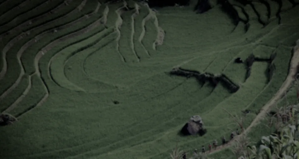
The CF-1211 Survey is a twin ducted-fan float that maps fields, boundaries and structures without a pilot. It covers 45 ha per sortie at 1.3 cm/px from 100 m, in winds up to 15 m/s.
Specs.
Metric
Imperial
CF-1211 Survey
Updated at 09·14·2026
- Height
- 16 cm
- 6.3 in
- Width
- 88 cm
- 34.6 in
- Length
- 48 cm
- 18.9 in
- Weight
- 4.2 kg
- 9.3 lb
- Endurance
- 24 min
- Range
- 5 km radius
- 3.1 mi radius
- Speed
- 16 m/s
- 36 mph
- Wind
- 15 m/s
- 34 mph
- Payload
- 1.0 kg
- 2.2 lb
- Noise
- 61 dBA at 10 m
- 61 dBA at 33 ft
Data.
Each sortie records 45 MP RGB at 1.3 cm/px GSD (ground sampling distance) from 100 m, and 5-band multispectral at 5.3 cm/px, positioned by RTK GNSS. Maps are handed over as GeoTIFF orthomosaics and LAS point clouds; raw images stay on a 512 GB onboard card.
Autonomy.
- Route Planning.
- Pilot-Free Flight.
- Terrain Following.
Sensing.
- 45 MP Mapping Camera.
- 5-Band Multispectral.
- RTK Positioning.
Sector.
Agriculture.
Maps crop, soil and water conditions field by field, on a repeat schedule.
Security.
Maps sites and perimeters so change can be measured between sorties.
Surveillance.
Builds the base map that later observation of a site is read against.
- Endurance.
- 24 min per sortie, mapping at 12 m/s and 15 °C with both cameras fitted.
- Wind.
- Holds its survey lines in sustained winds up to 15 m/s (34 mph), the highest in the range.
- Noise.
- 61 dBA at 10 m in hover, A-weighted, measured at ground level.
Imagery ©swisstopo
In flight.
1Data. Each sortie records 45 MP RGB at 1.3 cm/px GSD (ground sampling distance) from 100 m, and 5-band multispectral at 5.3 cm/px, positioned by RTK GNSS.
2Agriculture. Maps crop, soil and water conditions field by field, on a repeat schedule.
Float.
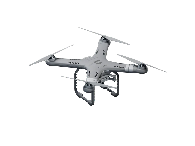
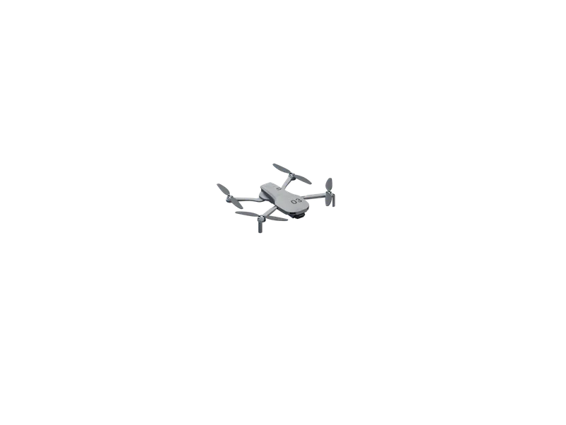
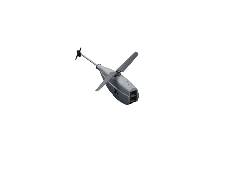
03Four floats, one for each kind of observation: recon, survey, a fixed watch and long routes.
Each one plans and flies its own route.
News.
Launches, field notes and company news, each with its figures and the conditions they were measured in.
We write when there is something to report.
6.4 km of fence in 19 minutes.
A VK-166 Recon flew the 6.4 km perimeter of a 40 ha solar site at night in 19 min, with no pilot, and reported four faults by thermal and zoom. Conditions, method, results, and what we changed.
Swarm mapping over open water.
Three CF-1211 floats mapped 126 ha of open water in 27 min as one coordinated swarm, with no pilot and no landmarks to stitch by. Conditions, method, results, and what we changed.
110 km out and back.
A ZZ-R12 Long flew 110 km out and back along a disused rail corridor in 1 h 58 min, without a pilot, and landed with 26% of its energy in reserve. How it plans a route that long, and where it decides to turn.