Domains.
Six domains, one way of working: set the area or the line, fly it without a pilot, and read what changed.
Map the field. Watch the site. Cover the route.
Agriculture.
45 ha
Per sortie
CF-1211
Crop, soil and water conditions mapped field by field, season after season.
Security.
6.4 km
19 min
VK-166
Perimeters, gates and fence lines of fixed sites kept under regular observation.
Surveillance.
2 h 30 min
Per sortie
ZZ-R12
Wide areas and long routes kept in view where fixed cameras cannot reach.
Survey.
1.3 cm/px
From 100 m
CF-1211
Land, boundaries and structures measured from the air and returned as maps.
Zoning.
6 classes
Per frame
CF-1211
Land use, boundaries and change over time recorded for planning and permits.
Exploration.
55 km
Radius
ZZ-R12
Remote and unmapped ground surveyed before anyone travels to it.
Float.
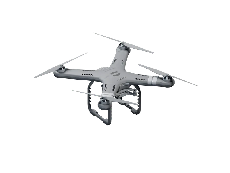
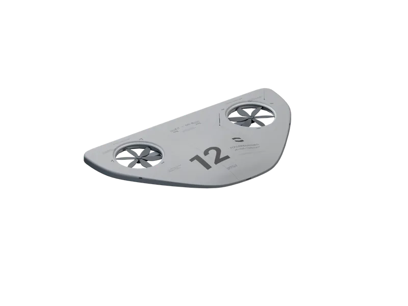
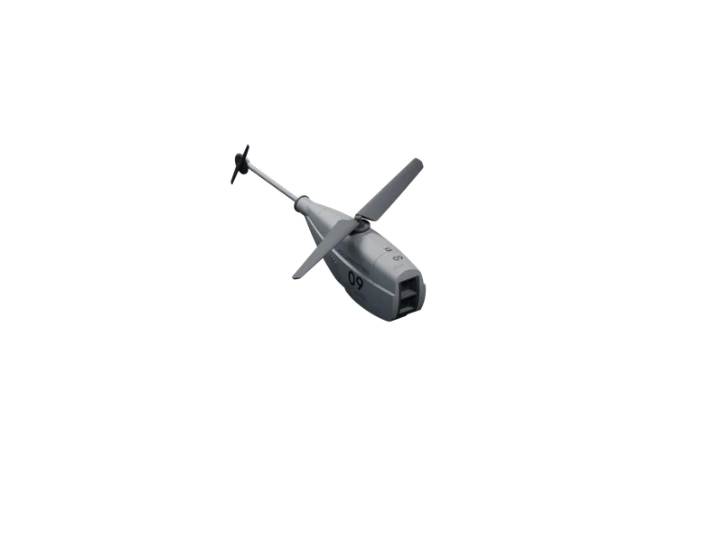
04Four floats, one for each kind of observation: recon, survey, a fixed watch and long routes.
Each one plans and flies its own route.