04 / 06
Survey.
MapMeasure
- Map
- Measure
- Model
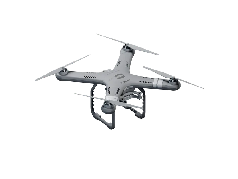
We measure ground from the air and hand back maps, not pictures. The CF-1211 Survey flies overlapping photo lines over the terrain, places every 45 MP image by RTK GNSS, and returns orthomosaics and point clouds at 1.3 cm/px, checked against points surveyed on the ground.
Scheme.
Markers 01–04 follow the method below.
Method.
01
Set the area.
You draw the area and the height. The float plans lines that follow the terrain, so ground sampling holds at 1.3 cm/px.
02
Overlap the frames.
Each image overlaps the next by 80% along the line, and its neighbours by 70% across it.
03
Place every frame.
RTK GNSS places each frame to within 3 cm. Check points surveyed on the ground measure the finished map.
04
Hand it over.
Maps return as GeoTIFF orthomosaics and LAS point clouds; the raw images stay on the float's 512 GB card.
Floats.
02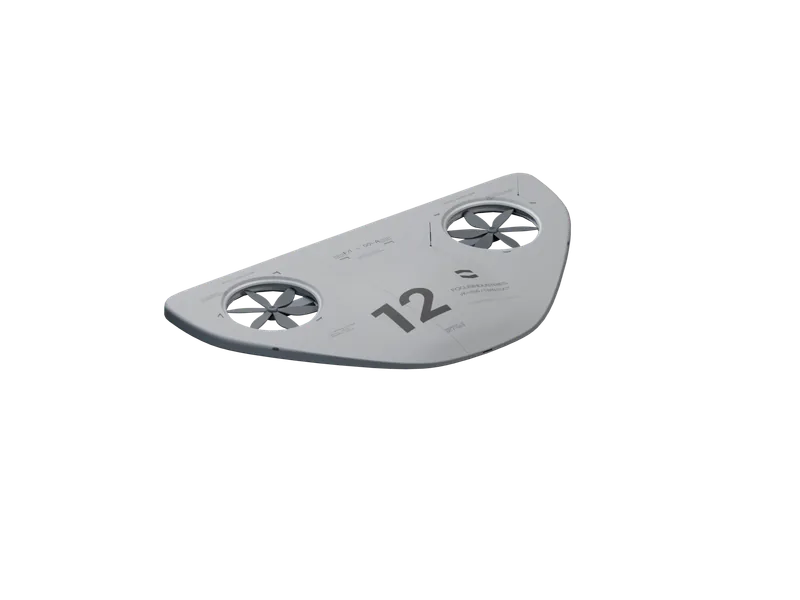
Capabilities.
Resolution.
1.3 cm/px
From 100 m
CF-1211
45 MP RGB, with ground sampling held by terrain following.
Position.
3 cm
RTK GNSS
CF-1211
Each frame placed by position, height and camera angle.
Accuracy.
2.1 cm
Horizontal
CF-1211
Measured at six check points over 88 ha of arable land.
Overlap.
80% / 70%
Forward / side
CF-1211
Every point on the ground seen in several frames.
Swarm.
126 ha
27 min
3 × CF-1211
One area split between floats that keep 150 m apart.
Output.
GeoTIFF
LAS
CF-1211
Orthomosaics and point clouds, ready for GIS and CAD.
Uses.
Land.
Boundaries, ground levels and access mapped before a site changes hands.
Structures.
Roofs, walls and yards measured from above, with every image placed.
Volumes.
Stockpiles and earthworks measured to the centimetre, sortie after sortie.
Shorelines.
Estuaries and open water mapped by position, where there are no landmarks.
News.
Swarm mapping over open water.
Three CF-1211 floats mapped 126 ha of open water in 27 min as one coordinated swarm, with no pilot and no landmarks to stitch by. Conditions, method, results, and what we changed.
Survey at first light.
Two CF-1211 sorties mapped 88 ha of arable land before sunrise, in winds gusting to 13 m/s at 9 °C. What we measured, what failed, and what we changed.
CF-1211 Survey. Map the field.
The CF-1211 Survey maps 45 ha per sortie at 1.3 cm/px, in winds up to 15 m/s, without a pilot. Orders open today; first deliveries are in September.
Zoning.
Land use, boundaries and change over time recorded for planning and permits.