05 / 06
Zoning.
ZoneCompare
- Record
- Compare
- Report
We record land as it is, then again as it changes. The same area is mapped on the same lines months apart, and each parcel is compared class by class: a new structure, a moved boundary, crop turned to hard standing. Change is found by comparison, not by someone watching a screen.
Scheme.
Markers 01–04 follow the method below.
Method.
01
Set the baseline.
The first sortie maps the area at 1.3 cm/px, each image placed to within 3 cm. Every later sortie is read against it.
02
Fly it again.
Months later the float flies the same lines at the same height, so the two maps align without correction.
03
Compare by class.
Segmentation splits each map into six classes, from crop and water to roads and structures, and compares them parcel by parcel.
04
Report the change.
New structures, moved boundaries and changed land use are listed by parcel, with their area and position.
Floats.
02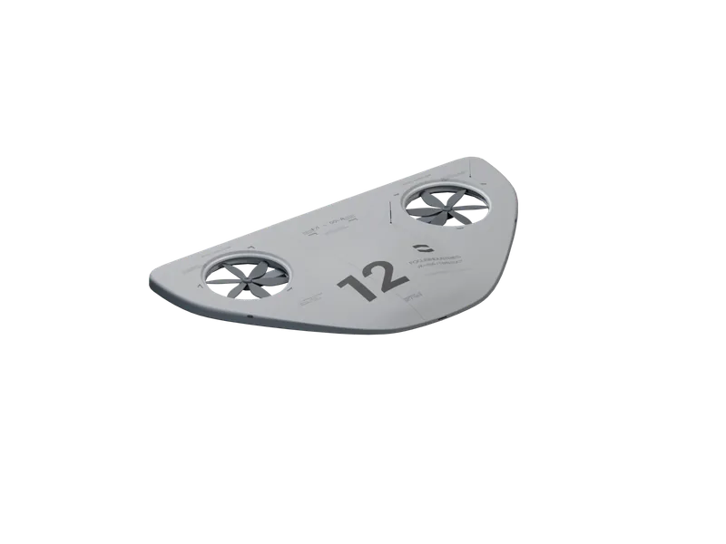
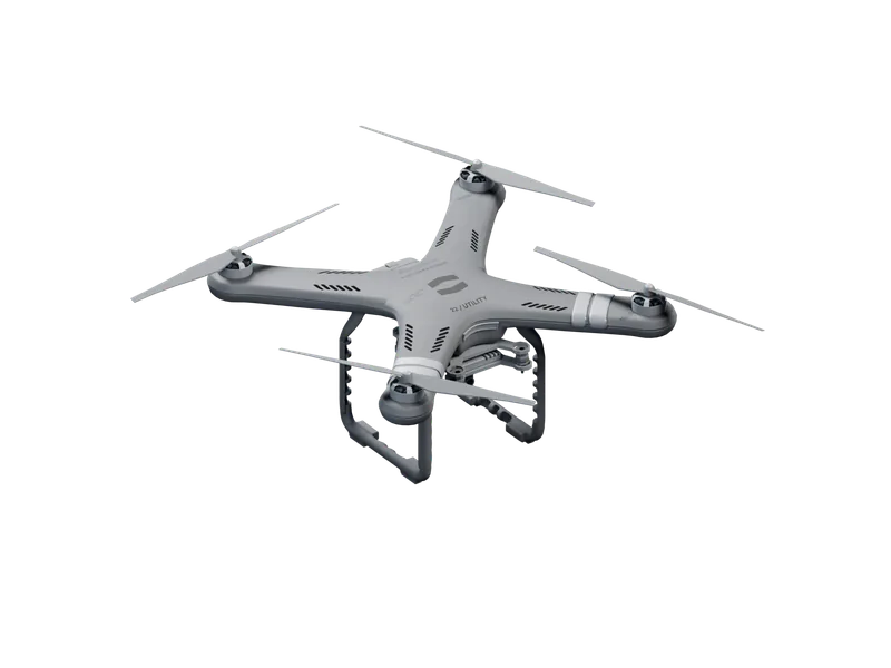
Capabilities.
Baseline.
1.3 cm/px
45 MP RGB
CF-1211
The first map, which every later sortie is compared with.
Repeat.
Same lines
Same height
CF-1211
Two maps set side by side without correction.
Classes.
6
10 fps
All floats
Ground, water, crop, road, structure and vegetation, in every frame.
Position.
3 cm
RTK GNSS
CF-1211
Boundaries placed to within 3 cm, sortie after sortie.
Coverage.
45 ha
Per sortie
CF-1211
Larger areas split into blocks and flown in turn.
Uses.
Planning.
Land use recorded parcel by parcel for plans and their reviews.
Permits.
Built work checked against what was permitted, on a set date.
Boundaries.
Fences, hedges and lines between holdings recorded and compared over time.
Land change.
Ground cleared, built on or flooded between two surveys, measured by area.
News.
Data, not footage.
A float hands back measurements, not hours of video: 1.3 cm/px maps, 640×512 radiometric thermal and 4K imagery, each record tagged with time and position.
CF-1211 Survey. Map the field.
The CF-1211 Survey maps 45 ha per sortie at 1.3 cm/px, in winds up to 15 m/s, without a pilot. Orders open today; first deliveries are in September.
Swarm mapping over open water.
Three CF-1211 floats mapped 126 ha of open water in 27 min as one coordinated swarm, with no pilot and no landmarks to stitch by. Conditions, method, results, and what we changed.
Exploration.
Remote and unmapped ground surveyed before anyone travels to it.