06 / 06
Exploration.
CoverReturn
- Route
- Record
- Return
We send a float before anyone travels. The ZZ-R12 Long flies out along a line, up to 55 km from launch, and records the ground in 4K and thermal. It turns when the energy it needs to come home falls to a 20% reserve, a figure it checks every 30 s, wherever it is on the line.
Scheme.
Markers 01–04 follow the method below.
Method.
01
Draw the line.
You draw one line over the ground. The float turns it into waypoints 90 m above the terrain, below the 120 m ceiling.
02
Fly out.
It flies the line at cruise, recording 4K video from a 30× zoom camera and radiometric thermal.
03
Check the energy.
Every 30 s it works out the energy to fly home in the wind it has measured, and adds a 20% reserve.
04
Turn and return.
When the energy on board meets that figure, it turns, and reports any part of the line it has not reached.
Floats.
03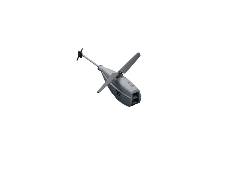
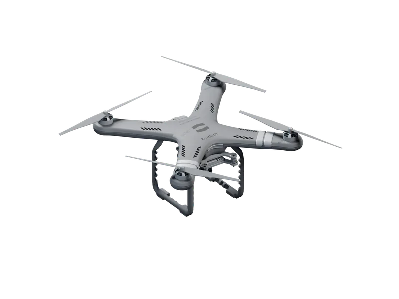
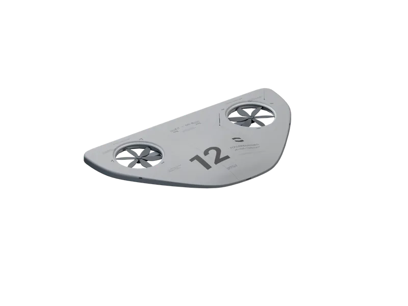
Capabilities.
Radius.
55 km
110 km route
ZZ-R12
Out and back along one line per sortie.
Endurance.
2 h 30 min
16 m/s cruise
ZZ-R12
With a 1.5 kg payload at 15 °C.
Energy check.
30 s
20% reserve
ZZ-R12
The turn is a rule, not a fixed point on the map.
Terrain.
90 m
120 m ceiling
ZZ-R12
Each waypoint set above the ground beneath it.
Storage.
1 TB
On board
ZZ-R12
4K video and radiometric thermal for the whole route.
Wind.
14 m/s
Sustained
ZZ-R12
Route held in crosswind; a headwind home turns it earlier.
Uses.
Corridors.
Disused lines, tracks and rivers recorded end to end before a crew sets out.
Sites.
Remote ground checked for access, water and hazards before anyone travels.
After storms.
Fallen trees and blocked culverts found along a line no vehicle can follow.
News.
110 km out and back.
A ZZ-R12 Long flew 110 km out and back along a disused rail corridor in 1 h 58 min, without a pilot, and landed with 26% of its energy in reserve. How it plans a route that long, and where it decides to turn.
Swarm mapping over open water.
Three CF-1211 floats mapped 126 ha of open water in 27 min as one coordinated swarm, with no pilot and no landmarks to stitch by. Conditions, method, results, and what we changed.
Out of Stealth. Still invisible.
Focus Industries is out of stealth with four autonomous floats, from the 0.85 kg CF-1212 Eyes to the ZZ-R12 Long, which flies 2 h 30 min per sortie. Each one plans and flies its own route.
Agriculture.
Crop, soil and water conditions mapped field by field, season after season.