SeeMove
Every float sees with its own onboard models and moves by its own rules. No pilot in the loop, no footage to watch.
- Detect
- Fuse
- Map
- Hold
- Return
Vision and Movement
Vision.
1Detection runs on board at 30 fps: open gates, fallen trees, standing water and heat faults, flagged while the float is still in the air.
2EO and thermal are fused on board. Each 640×512 thermal frame is aligned to the 4K image within 2 px, so heat sits on the right object.
3Segmentation splits every frame into six classes, from crop and water to roads and structures, so change is measured class by class.
4The CF-1211 maps by photogrammetry: 45 MP images at 80% overlap, 1.3 cm/px from 100 m, each one placed by RTK GNSS to within 3 cm.
5On board: detection, fusion and alerts. After landing: full maps, point clouds and the comparison with the last sortie.
6Floats observe places and assets. People are detected only so they can be blurred, and faces never leave the float.
Capabilities.
Every figure here is measured on our test sites at 15 °C, with the standard payload. Each row names the floats it applies to.
See it on board. Move by rule. Come home.
Detection.
30 fps
Up to 1.2 km
All floats
Gates, fallen trees, water and heat faults flagged on board, in flight.
Fusion.
2 px
30 Hz
Thermal floats
Each thermal frame aligned to the 4K image, so heat shows on the right object.
Segmentation.
10 fps
6 classes
All floats
Ground, water, crop, road, structure and vegetation separated in every frame.
Mapping.
1.3 cm/px
3 cm
CF-1211
Photogrammetry from 45 MP images, each placed by RTK GNSS.
Privacy.
On board
Before export
All floats
People detected only to be blurred; faces never leave the float.
Planning.
Under 10 s
120 m ceiling
All floats
An area or a line turned into a route that follows the terrain.
Obstacles.
30 m
5 m stop
All floats
Stereo sensors look ahead; the float stops short, holds and plans around.
Wind.
50 Hz
0.5 m
All floats
Gusts corrected 50 times a second, up to each float's wind limit.
Return.
25%
1.5 m
All floats
Home on low battery, weak GNSS or a lost link, landing within 1.5 m.
Swarm.
200 ms
150 m
CF-1211
Positions shared on a mesh link; the area split, separation kept.
Long route.
30 s
20% reserve
ZZ-R12
Energy to fly home checked every 30 s; the float turns at its reserve.
Imagery ©swisstopo
Movement.
1You draw an area or a line. The float turns it into a route in under 10 s, following the terrain at a set height below 120 m.
2Stereo sensors look 30 m ahead. On anything in the path, the float stops 5 m short and holds. Wind is corrected 50 times a second.
3It returns to base at 25% battery, on fewer than 8 GNSS satellites or after 30 s without a link, and lands within 1.5 m of launch.
4CF-1211 swarms share positions every 200 ms and keep 150 m apart. The ZZ-R12 checks its energy home every 30 s and turns at a 20% reserve.
Float.
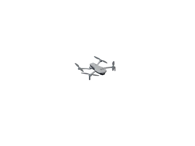
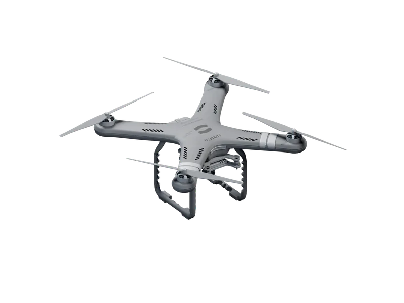
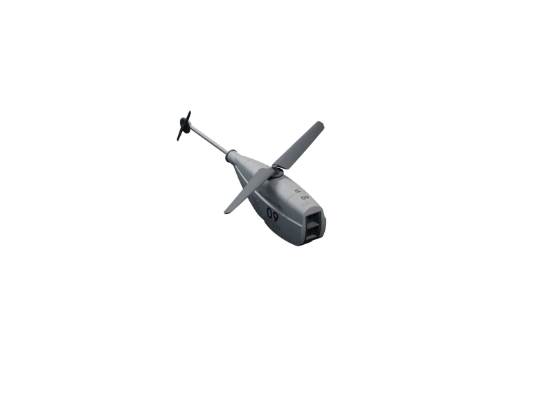
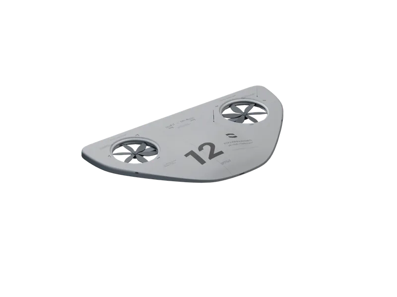
04Four floats, one for each kind of observation: recon, survey, a fixed watch and long routes.
Each one plans and flies its own route.