03 / 06
Surveillance.
CoverPersist
- Cover
- Patrol
- Persist
We keep wide areas and long lines in view from the air: rail, roads, pipelines and the ground beside them. Floats fly a loop with overlapping fields of view, so no stretch goes unseen between passes. They observe places and assets; people are detected only so they can be blurred.
Scheme.
Markers 01–04 follow the method below.
Method.
01
Draw the corridor.
You draw the line and how far either side to record. The float plans a loop along it, below 120 m.
02
Overlap the views.
Fields of view overlap from one station to the next, so every stretch of the corridor is seen twice per pass.
03
Fly the loop.
The ZZ-R12 keeps the loop going for 2 h 30 min; a CF-1212 holds the stretch that needs a fixed view.
04
Flag in flight.
Detection runs on board at 30 fps. Fallen trees, open gates and heat faults are flagged while the float is in the air.
Floats.
03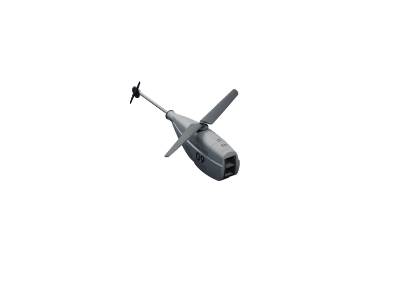
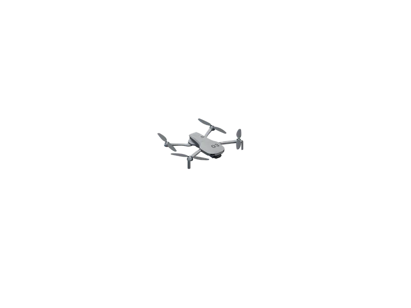
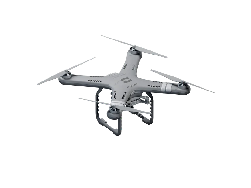
Capabilities.
Endurance.
2 h 30 min
Per sortie
ZZ-R12
Wide areas and long routes held in view without a pilot.
Range.
55 km
Radius
ZZ-R12
Out and back along a line, up to 110 km per sortie.
Zoom.
30×
4K
ZZ-R12
Detail read from height, without flying low over the line.
Detection.
30 fps
Up to 1.2 km
All floats
Gates, fallen trees, water and heat faults flagged in flight.
Privacy.
On board
Before export
All floats
People detected only to be blurred; faces never leave the float.
Signature.
52 dBA
At 10 m
CF-1212
About 36 dBA on the ground from its 60 m working height.
Uses.
Rail.
Track, cuttings and culverts recorded along the line, one sortie each way.
Roads.
Verges, bridges and drainage kept in view where no camera is mounted.
Pipelines.
Route, crossings and ground movement recorded on a repeat schedule.
Power lines.
Pylons, spans and the vegetation under them checked along the whole line.
News.
110 km out and back.
A ZZ-R12 Long flew 110 km out and back along a disused rail corridor in 1 h 58 min, without a pilot, and landed with 26% of its energy in reserve. How it plans a route that long, and where it decides to turn.
Heard at 52 dBA. Seen less.
The CF-1212 Eyes is heard at 52 dBA from 10 m in hover, about the level of a quiet office, and is 36 cm across. How we got there, and how we measure it.
Data, not footage.
A float hands back measurements, not hours of video: 1.3 cm/px maps, 640×512 radiometric thermal and 4K imagery, each record tagged with time and position.
Survey.
Land, boundaries and structures measured from the air and returned as maps.